

This weekend found Rebecca and I in the Frank Church Wilderness of No Return and the Gospel-Hump Wilderness. I was going to share one of my favorite camping spots with Rebecca, but, someone forgot to check what activities there were in the area and therefore did not know about the jet boat racing and the large crowds that was going to create on the Salmon River. This meant that by the time we reached the river, the camping was pretty much full everywhere. We were able to find a large space on the road to park and slept in the car. This was useful for future reference, because we both decided that sleeping in the car was not that great. We did manage some rest tho, which was good for the hike we had planned for the morning.
Getting to the trailhead is a fairly straightforward venture. On the southern end of Riggins, ID you will need to take Big Salmon Rd and follow that for roughly 23 miles to Carey Creek boat ramp. There is more parking available at the boat ramp than there is at the trailhead and it is only a couple hundred yards away. Plus, if you want to use a bathroom before starting your hike, the vault toilet is at the boat ramp. The road is paved for about half the distance, the other half is a pretty decent gravel road. I think pretty much anything can make it to Carey Creek.
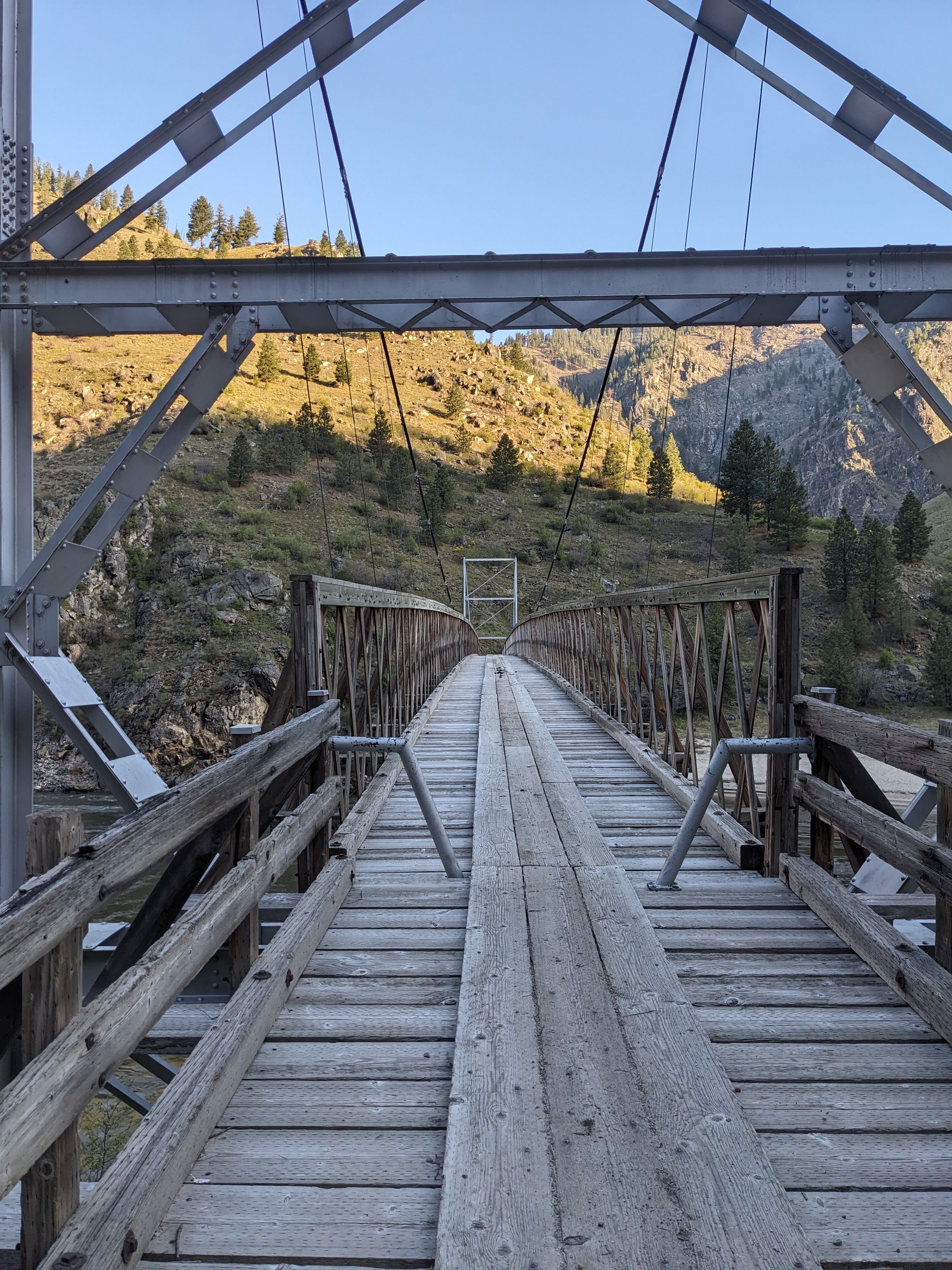
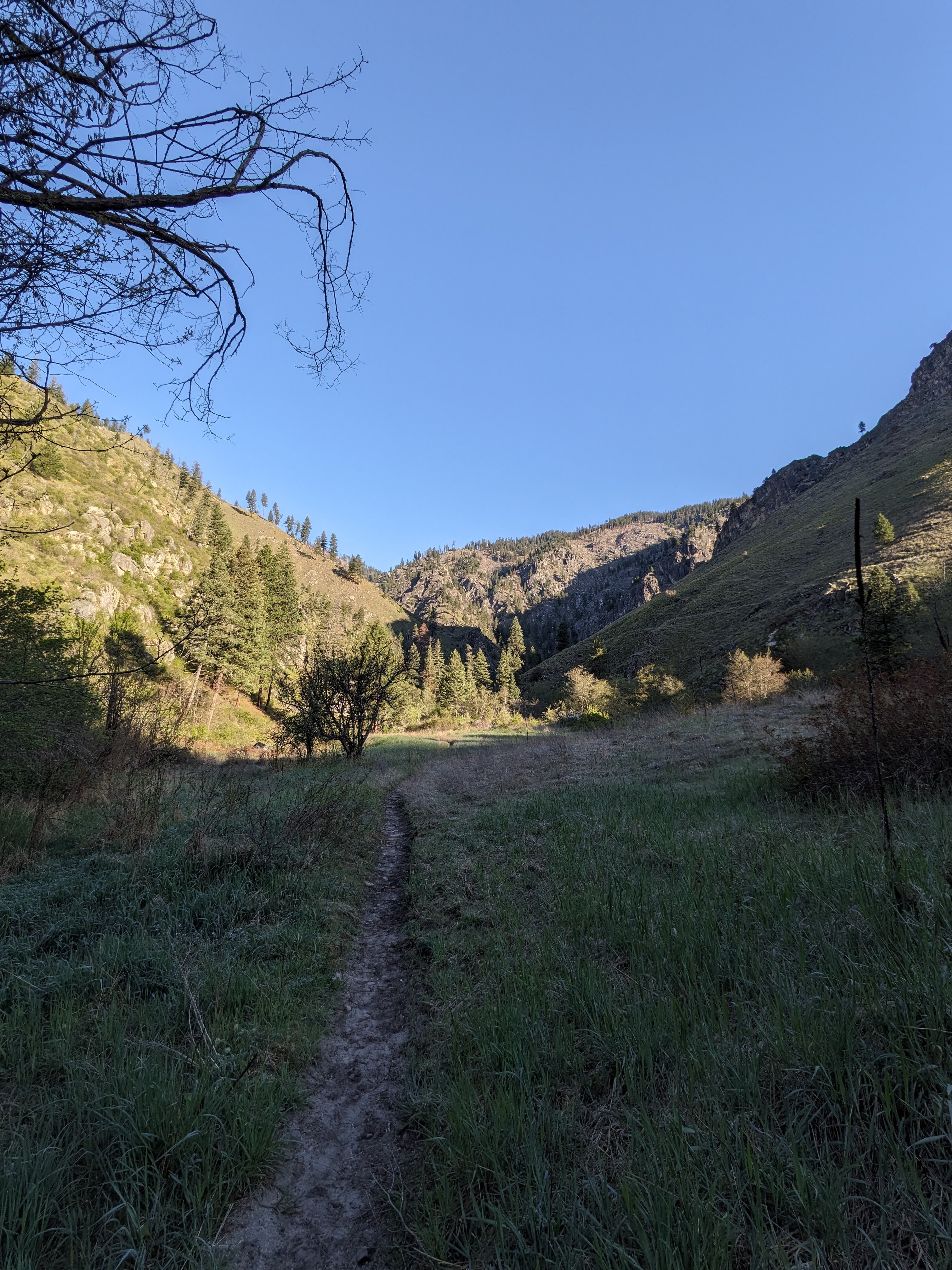
Our hike started a little later than intended, but it was still a chill 40 degrees out so it was alright. We crossed the first of two bridges that lay in our path and set off on a gentle uphill path. Wildflowers and morning dew greeted us as we traipsed through a small meadow. The only other moving things that we saw for some time were the few spiders that were waiting for a morning insect and the one lucky spider that was breakfasting upon a moth that it must have caught during the night. The path quickly narrowed around us as we walked through the undergrowth close to the river.
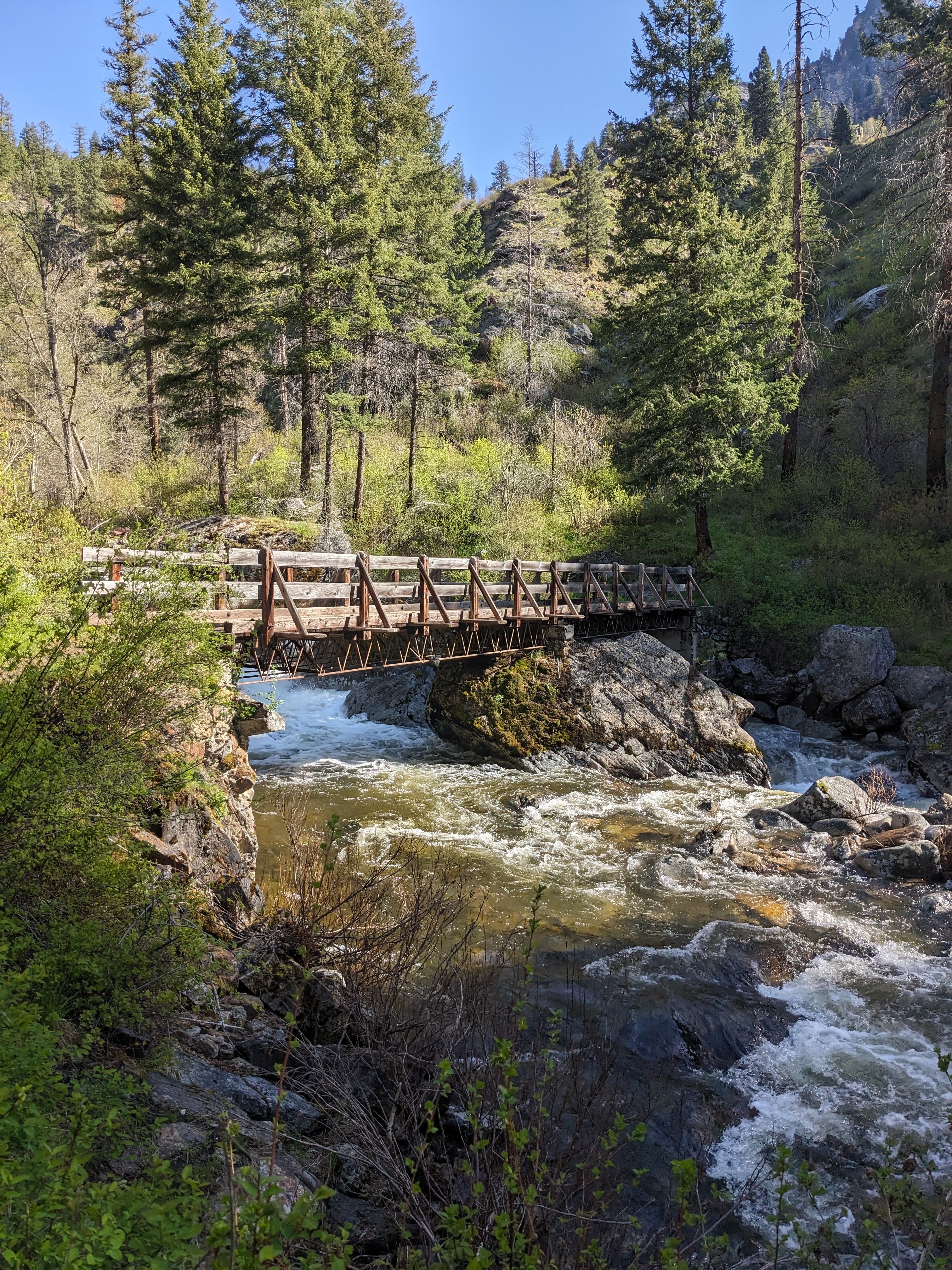
After crossing a few small springs, we began to climb in elevation much faster. The river roared beneath us, water forcing its’ way through boulders long fallen from the cliffs above. The sun climbed higher into the sky, finally reaching us with its’ warming rays. We stood on the shoulder of a mountain, admiring the rising peaks all around us before heading back down to the river and its’ noisy course. As we came around a corner, a grouse ran up the trail, seeking refuge in the dense brush between river and rock cliffs. We passed by in peace, admiring it for the simplicity of the life it understood. Not far from this encounter was the final bridge that marked the potential end of our journey upwards. Standing upon the bridge, listening to the water smashing against the rocks, gaining momentum as it tumbled down the valley, we decided that we wanted to continue on the path ahead.
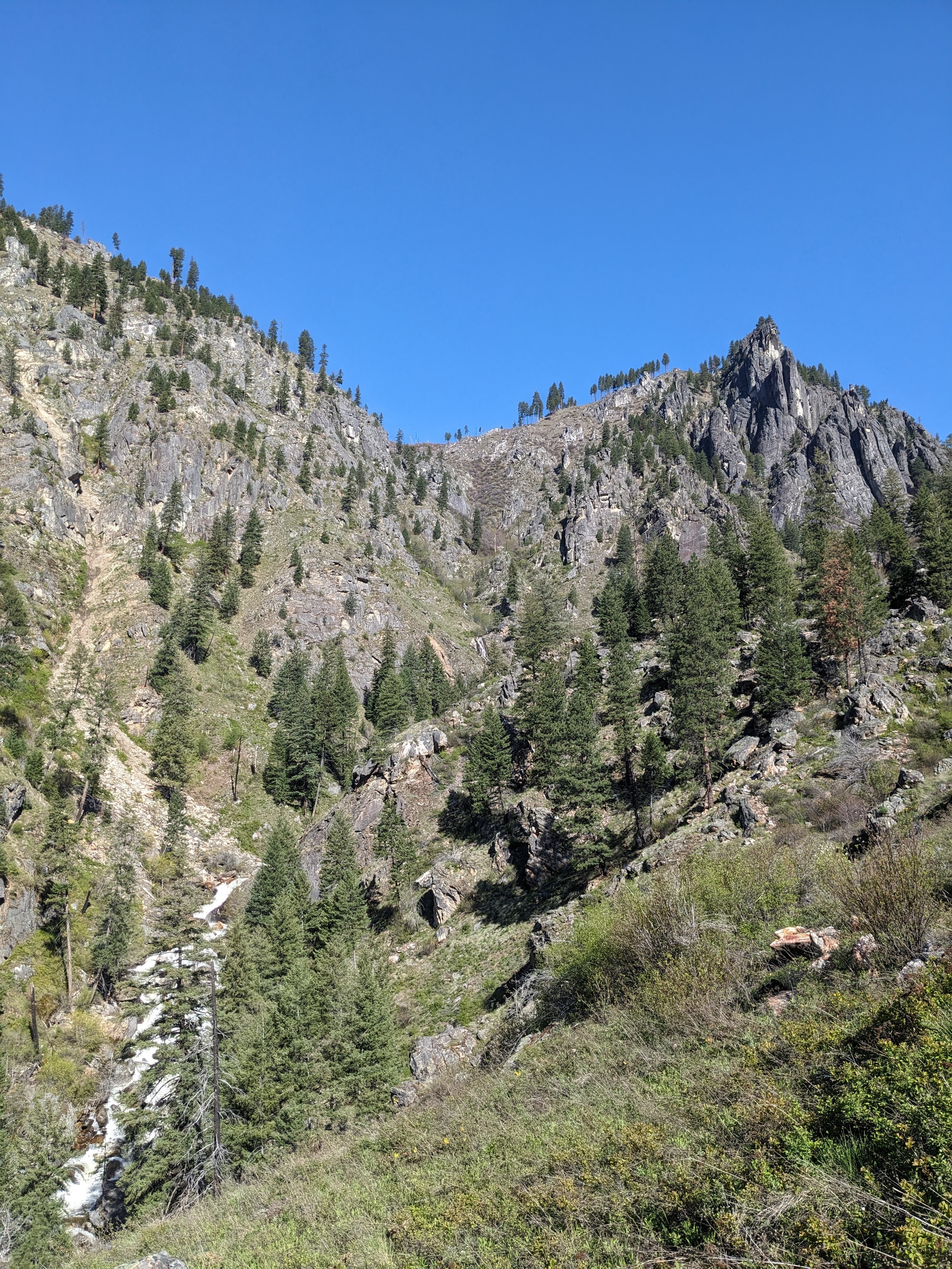
Climbing upwards in a rapid ascent, switchbacks climbing the face of the mountain, we clambered on. We stopped for another grouse sighting and then left it to its’ own devices after a few minutes. Our efforts in ascending higher rewarded us with a view of a fine, rocky peak. To the left of the peak was a rivulet of water cascading down over a rocky drop to join the river below. Content with allowing this to be our last view from this trail, we turned back towards a path now known and began our return journey. The return journey was faster, as they are usually wont to be, and we soon found ourselves back with our vehicle and the tasty, after hike snacks held within.
This was an excellent hike, with great conditions for both the trail and weather. Granted, we only hiked roughly 3 miles in and the trail continues for roughly another 17 more, so the trail conditions could have worsened a great deal from where we were. In doing my research for this trail, I found that it can be used by mountain bikers as well as pack animals and hikers. It is a very narrow trail, as can be seen in the photos, but it was apparently good enough for the one trail runner that we came across. We only encountered one other couple hiking the trail, but there were signs that others had come before us, so the trail does get some use. We are already planning another hike in this area because the views were so tremendous. I definitely recommend a hike here if you can swing it.
For official information about the Gospel-Hump Wilderness, you can start here: https://www.fs.usda.gov/recarea/nezperceclearwater/recarea/?recid=16764
If you want more content, give me a follow on Instagram at: overnightadventuresblog
If Facebook is your thing, here is my page: https://www.facebook.com/overnightadventuresblog/
More videos to come on YouTube at: https://www.youtube.com/@OvernightAdventuresVlog
And finally, if you would like to help support my travels and this blog, here is my patreon link:
https://www.patreon.com/OvernightAdventures
Disclaimer: The information contained in this blog is for informational purposes only and is not intended to be a substitute for professional advice. The author of this blog makes no representations or warranties of any kind, express or implied, as to the accuracy, completeness, or suitability of the information contained in this blog for any particular purpose. The author of this blog will not be liable for any loss or damage arising out of the use of or reliance on the information contained in this blog.
Copyright 2024 Isbell Productions

You must be logged in to post a comment.