

This trail is a little tricky to find, but it is located approximately 2 miles northwest of Starbuck, WA on WA Hwy 261. There is a small pullout area just in front of a road gate. The trail is roughly 1.3 miles long and wanders through the Tucannon Habitat Management Area. This is a highly accessible trail, and the narrow, twisty road that is 261 can be quite fun to drive in appropriate conditions. There is a vault toilet a little further north west of the trailhead, but no amenities at the actual trailhead.
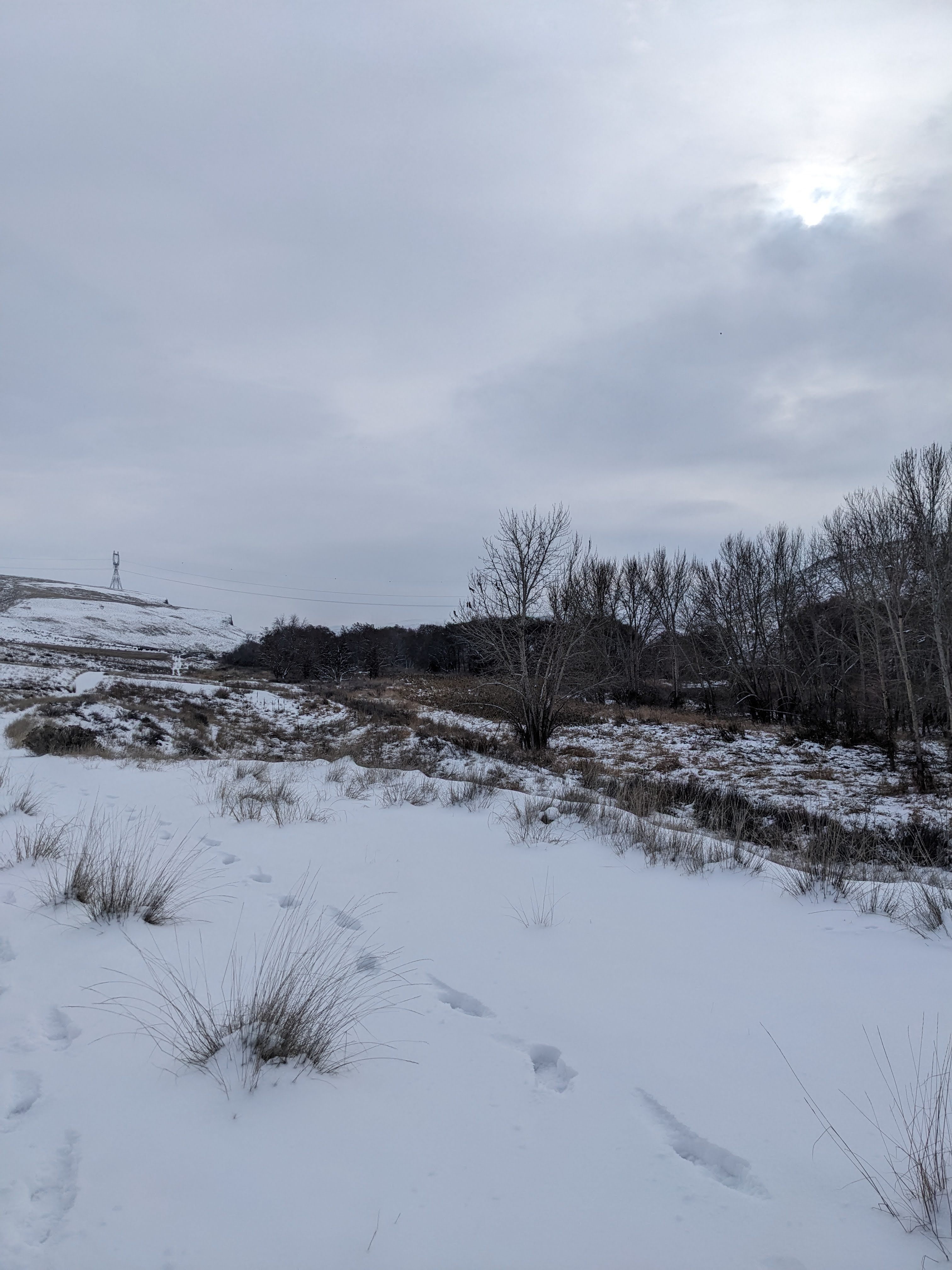
After we walked around the road gate, we found a cattle guard that must be crossed, followed in short order by another. The cattle were in the pen area when we arrived, but I think they were waiting for their daily hay. They seemed friendly and followed us for a little bit. After passing the cattle, relative silence greeted us. While the highway does run parallel to the trail (but on the other side of the river), it is not a terribly busy highway. Traffic noise is minimal, giving you plenty of opportunity to hear the eagles and ravens that were present on the day we hiked this path. Signs of deer were present in the snow. I read that porcupine and beaver can be seen along the river as well. We did see a couple of bald eagles as well as numerous hawks and various other little song birds.
Fishermen were seen on the opposing bank from us. It appears that trout and bass varieties are the most commonly fished for species, while there are steelhead and salmon runs up the river. Pay special attention to seasonal regulations if fishing this area, as much of the river is closed to fishing above the hatchery. The area is also open to the hunting of various game birds, such as turkey and duck.

Overall, this was a very pleasant winter hike. There were no bugs, which I have read can be an issue in the warmer times of the year. The trail does fade out a little in a copse of trees and there appears to be a point where water gathers and was froze over, causing a bit of a traction issue. I believe that here is where others stated that the trail turned quite muddy. Asides from this section, the rest of the trail is easily navigable and provides some great views of the geography typical to Eastern Washington, as well as a pleasant little walk.
US Corp of Engineers link for the habitat area: https://www.nww.usace.army.mil/Missions/Recreation/Lower-Monumental-Dam-Lake-West/Tucannon-Habitat-Management-Area/
If you want more picture content, give me a follow on Instagram at: overnightadventuresblog
If Facebook is your thing, here is my page: https://www.facebook.com/overnightadventuresblog/
More videos to come on YouTube at: https://www.youtube.com/@OvernightAdventuresVlog
And finally, if you would like to help support my travels and this blog, here is my patreon link:
https://www.patreon.com/OvernightAdventures
Disclaimer: The information contained in this blog is for informational purposes only and is not intended to be a substitute for professional advice. The author of this blog makes no representations or warranties of any kind, express or implied, as to the accuracy, completeness, or suitability of the information contained in this blog for any particular purpose. The author of this blog will not be liable for any loss or damage arising out of the use of or reliance on the information contained in this blog.
Copyright 2024 Isbell Productions

You must be logged in to post a comment.